

Description
CT Aerial Drone Surveys provides survey-grade drone photogrammetry and lidar services tailored for Connecticut land surveyors, offering accurate and efficient aerial data collection and processing.
Visit Website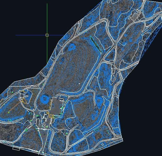
Frequently Asked Questions (FAQs)
CT Aerial Drone Survey's is located at 1 McConney Grove, Derby, CT 06418.
You can contact CT Aerial Drone Survey's by calling +1-2036501481.
CT Aerial Drone Survey's is listed under the following categories: Civil engineer, Engineer, Surveyor .
CT Aerial Drone Survey's provides services in the following areas: Connecticut .
CT Aerial Drone Survey's offers the following products: Orthomosaic, Contours, 2D Linework & Symbols, Surface File, Point Cloud .
CT Aerial Drone Survey's provides a range of services, including: Drone Photogrammetry, Drone Lidar, Processing Only .
CT Aerial Drone Survey's specializes in: Survey-grade accuracy, Ground control points with GNSS, Vendor-neutral drone and software use, Safe surveying on hazardous terrain, Fast large site surveys .
The languages spoken at CT Aerial Drone Survey's include: English .
Nearby Civil engineer Businesses
CSBR Designs LLC
123 Butler Ave, Southington, 06489, USYoung & Associates (Young and Associates Land Surveying, Engineering & Geology PLLC)
400 Ostrander Ave, Riverhead, NY, 11901, USGerardi Engineering
5 Malmros Terrace, Poughkeepsie, NY, 12601, USMcLaren Engineering Group
530 Chestnut Ridge Rd, Woodcliff Lake, NJ, 07677, US


