Description
DroneMapper specializes in photogrammetry software and geospatial services, offering licensed desktop applications and cloud processing for aerial imagery. They provide orthomosaics, digital elevation models, point clouds, and GIS products for industries including agriculture, mining, construction, and surveying.
Visit Website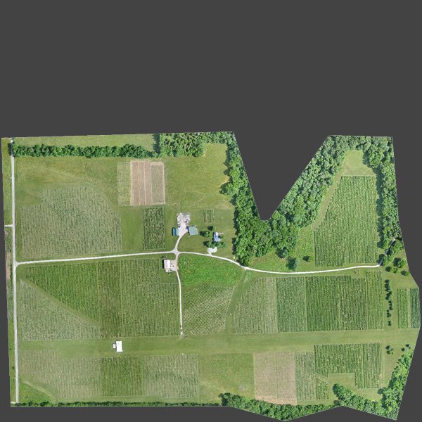
Frequently Asked Questions (FAQs)
Drone Mapper is located at 18636 Eastridge Rd, Cedaredge, CO 81413.
You can contact Drone Mapper by calling +1-9704171102.
Drone Mapper is listed under the following categories: Mapping service .
Drone Mapper provides services in the following areas: Cedaredge, Colorado .
Drone Mapper offers the following products: REMOTE EXPERT photogrammetry software, RAPID photogrammetry software, Orthomosaics, Digital Elevation Models (DEM), Digital Terrain Models (DTM), Point clouds, Textured mesh 3D models, GIS products .
Drone Mapper provides a range of services, including: Photogrammetry software licensing, Cloud-based aerial imagery processing, Manned and unmanned aerial imagery collection, Flight platform and mission planning, GIS consulting and software development, Precision agriculture mapping, Land survey and ground control, Custom software development, Enterprise geospatial solutions, Customer consultation and training .
Drone Mapper specializes in: Georeferenced orthomosaic generation, Digital elevation and terrain modeling, NDVI and vegetation indices, Volumetrics for stockpiles and reservoirs, Precision agriculture analytics, Flight operations and aerial data collection, High accuracy GPS RTK survey integration, Custom aerial ground control point targets, Cloud-based big data photogrammetry processing, Manned and unmanned aerial imagery solutions .
Drone Mapper was established in 2011.
The languages spoken at Drone Mapper include: English .